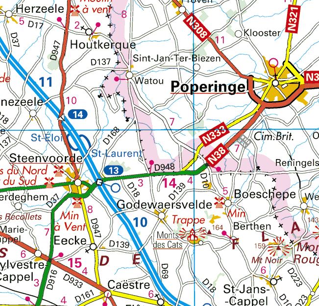
Abeele, which is now spelled Abele in modernised Flemish, is a village on the international border between France and Belgium.

Pre-war history
The origins of the village are uncertain but derive from its location on the Roman road from Cassel in France into the interior of Flanders. A toll was established here in 1713 but was abandoned during the French revolutionary period. The international border was established when Belgium became independent and Abeele assumed importance as a border and customs point.
The railway line was constructed in 1866-1870 (Abeele station came into use in June 1870) and Abeele’s Church of Our Lady of the Immaculate Conception was erected in 1872-1873.


The Great War
Once the front had stabilised in Flanders in late 1914, Abeele found itself on the main supply route to Ypres. Hundreds of thousands of French and, for much of the war, British and Commonwealth, troops and countless tons of traffic, passed through.


The village was used for billeting and many huts and camps sprang up on all sides. Abeele was out of range of even the heaviest enemy artillery but became a target for air raids, notably because of its use as a corps headquarters and due to the presence of a nearby airfield.
The village was the location of a succession of Corps headquarters and in constant use as such from 4 April 1916 to 4 March 1918.
- 4 April 1916: Canadian Corps
- 3 September 1916: I Anzac Corps
- 26 September 1916: X Corps
- 15 November 1917: II Anzac Corps (became XXII Corps) until 4 March 1918
The aerodrome was laid out on undulating ground west of the village centre. Numerous units of the Royal Flying Corps and later the Royal Air Force were based there: 4, 5, 6, 8, 10, 29 and 41 Squadrons at various times. Captain Lanoe Hawker earned teh Victoria Cross while flying with 6 Squadron from Abeele on 25 July 1915.
The village remained well behind the firing lines, with the nearest approach coming as a result of the German advance in the “Georgette” offensive (Battle of the Lys) in April 1918. The British 25th and 34th Divisions, both badly depleted by losses in the fighting, constructed the “Abeele Line” as a secondary defence.

Abeele after the Great War
Abeele Aerodrome Military Cemetery was begun in April 1918 by French units and also used for British burials. The French graves were removed in later years and the cemetery now contains just 104 British and Commonwealth graves. The cemetery lies on the southern side of the site of the former airfield, of which there is now no significant trace.
In 1919 the village resumed life as a border and customs post. It fell under German occupation in 1940-1944. Troops were billeted in the “Pensionnat”.
The Hazebrouck-Poperinge railway was abandoned and fell into disuse 1970 and all trace eventually disappeared under road developments.
Abeele today is a pleasant community, benefiting from the heavy traffic by-passing the village on the D948/N38. It has a number of small shops and a hotel-cafe, ‘t Kommiezenkot, which is centrally located in a former customs building.
