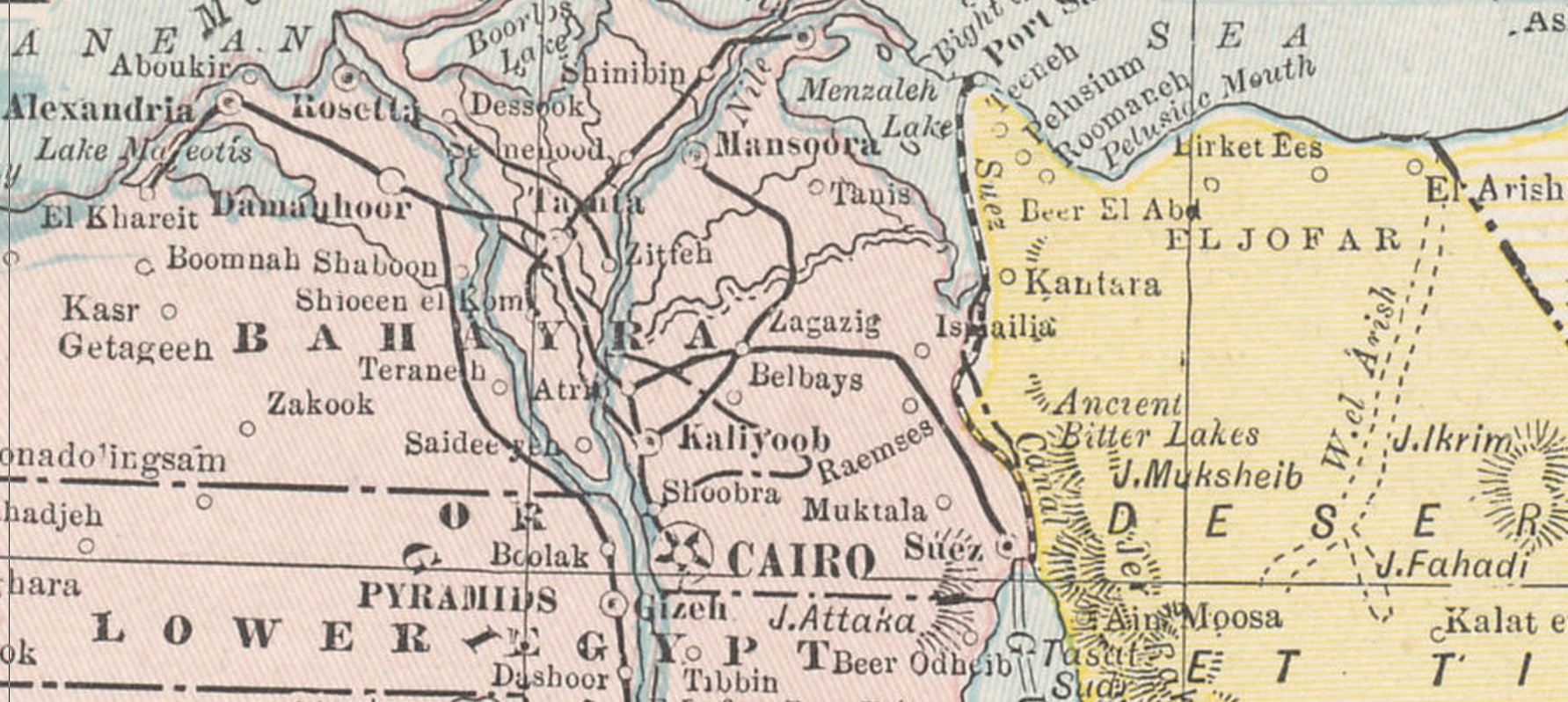
The Suez Canal: a vital strategic asset
Opened in 1869, the Suez Canal is 101 miles long, connecting the Red Sea and the Mediterranean. It was a vital route for British interests, allowing shipping to go the shorter route to and from India and other Asian and African parts of Empire rather than south round the Cape of Good Hope. The canal connects a number of lakes and is nearly 150 feet wide. On its western bank runs the so-called Sweet Water Canal with main controls at Ismailia, the only large-scale source of drinking water for the area. To the east lay the inhospitable Sinai desert, with little water.
Excellent animated map showing how the Suez Canal became vital to British interests by 1914:
The British Empire: Trading Routes and Construction
Turkish attack across the Sinai against the canal, 1915

My article based on the report of the action in the British Official History of Military Operations:
The defeat of the Turkish attack on the Suez Canal, February 1915
The official despatch describing the Turkish attack of February 1915, including a detailed report from Major-General A. Wilson, C.B., commanding the Suez Canal Defences:
General John Maxwell’s first despatch from Egypt
The despatch covering the period from the defeated attack up to mid-1915:
General John Maxwell’s second despatch from Egypt
My article on the order of battle:
Evolution of the British force in Egypt and Palestine (work in progress)